by Elsa Johnson and John Cross
One of the nice resources that I got very used to, where techno influences hiking now, is an application called Guthooks. Essentially it uses the GPS on your phone to figure out where you are at any time along the trail. You can see where the next shelter is, how far you are away from water, and it allows people to leave comments on key points, so it was a good way to figure out “how hard is this next section of trail?” Once the north-bounders and south-bounders were intersecting, you got a nice sharing about how hard something would be – but also you could be thrown off a bit. A south-bounder could think a section was hard, because they were going up, but a north-bounder would think it was easy because they were going down.
Though sometimes down is harder…?
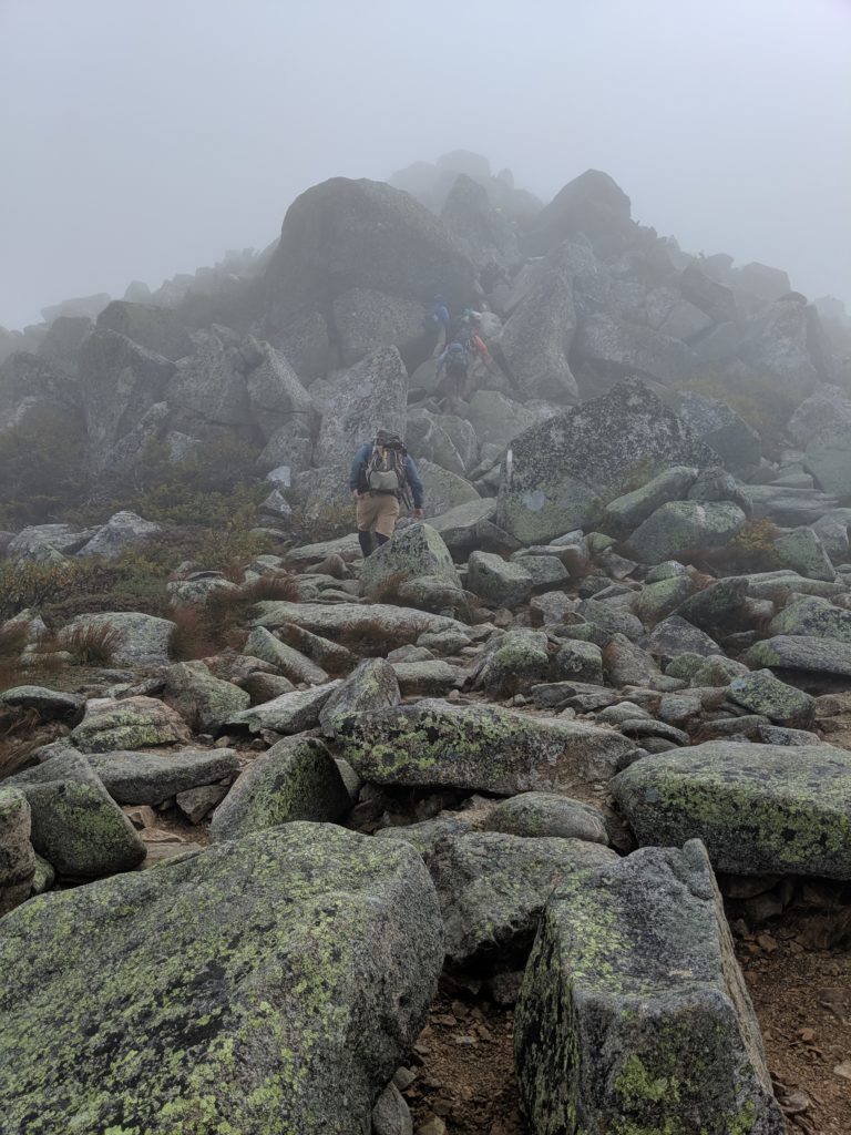
Yes! In New Hampshire and Maine the trail became very fond of these forty five degree rock faces. Going down it was a whole different ball game. Scary. You’d have to brace yourself – sometimes scoot on your butt and hope you don’t tear open your pack, or hurt your hands. That was the safest way.
What were the prettiest parts of the trail?
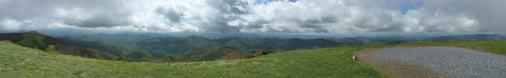
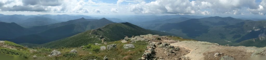
I have two favorite parts. One held the favorite spot for the longest time, until I got to the other. That was Roan Mountain, North Carolina. That’s the area called the Balds – just a gorgeous area. I loved those trails, when you can go up on top of the mountain and can see the trail across large expanses – huge expansive views — as you’re walking along. It was a complete reward to be hiking. That was my favorite until I got to New Hampshire, in the White Mountains. The Whites were extremely difficult. I’d be going through a difficult area, and there would be a family of four with a ten year old and a twelve year old; it kind of put you in your place. Mt. Lafayette – that was my high point of the trail. It was absolutely gorgeous up there. It was three thousand feet up, in a relatively short period of time. But once you’re up, the views are gorgeous. You can see from one mountain to another, to the Presidentials in the distance. The Whites in general are very gorgeous. It was much like in the Smokey’s. As a hiker going through, you almost get a little dulled.
How long did it take you to hike the whole trail?
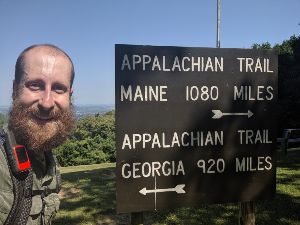
It was a little over five months. I started April first on the approach trail and finished on September 9th. Which was about right, because when I was at home, planning, doing my spread sheets, I was trying to average thirteen miles a day, not accounting for what hikers call zero days, when you stay in town and don’t hike at all. Based on that, I ended ahead of my schedule. It was about half way, at the Pennsylvania mark, where I started to feel I’d had enough hiking. I still wanted to see all the sights – take that opportunity – but I also wanted to get back home. Most people don’t get the opportunity to take a hike like that. Anybody you talk to who has only been able to do a part of it and gets off, for other than physical reasons, regrets doing that. They wish they’d pushed harder for it. I knew going in that even if I felt miserable, I was going to push myself to the end.
When you were hiking how did you and Corey (John’s wife) manage? Did she drive to visit you?
Luckily Ohio is kind of central to the Appalachian Trail. Yeah – She drove me and my hiking friend to Georgia, and hiked the approach trail with us, and then drove back home. She was just a trooper. She drove a lot of miles to visit me throughout the trail, and she picked me up at the end of it. Other times were scattered, when she had time off, and I had a town I was going to that was convenient for her to drive to.
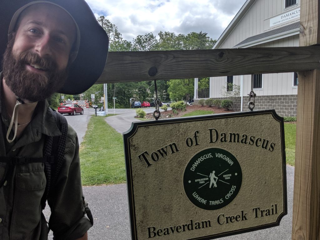
Does the trail go through any towns?
Most of the time you have to get off the trail. Typically it’s only a mile off the trail, but sometimes five miles off. In the south the popular hot towns that the trail goes through are Hot Springs and Damascus, as well as a college town in New Hampshire (which I should remember but don’t!). In the northern states when you go into town you’re like a fish out of water, especially going into big towns, because when you’re hiking the trail you can smell people from a mile away. A lot of the smaller towns, the trail towns, kind of flow with the seasons. A really good gig to be in is the hostel business. In the north the hostels have both a hiking season and a skiing season that offset their costs, and the off-season, when they have time off. It works out well for them.
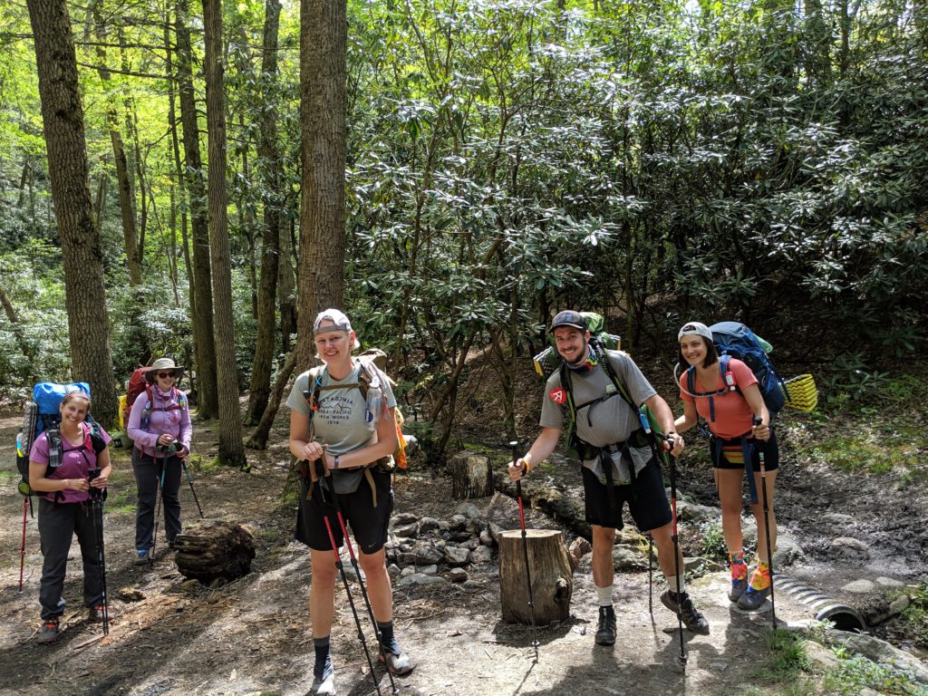
What about the people you’d meet?
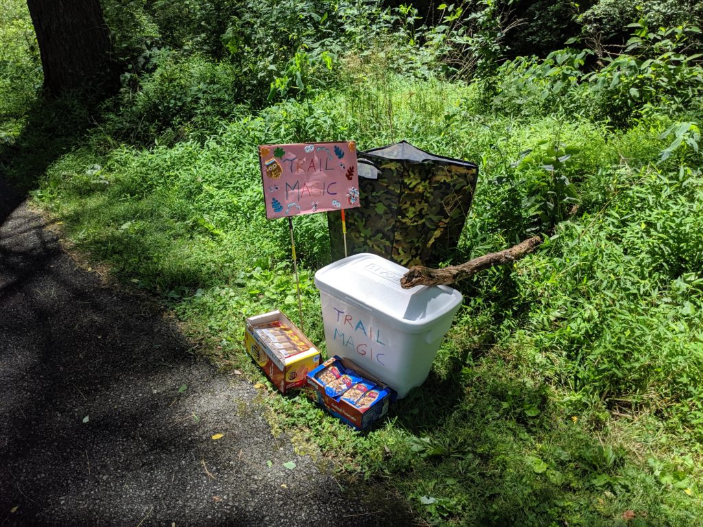
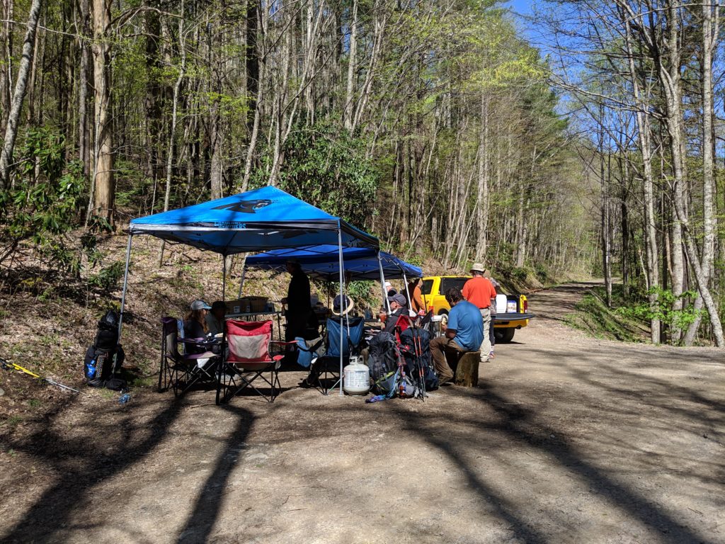
Typically trail hikers have a nice mentality to them. Generally they’re kind – everyone is trying to pay it forward. And you run into a lot of ‘trail magic’. Especially in the south, where charities or a church group set up at an intersection where the trail crosses a road, and hand out candy, drinks, soda pops. I ran across one where they were making burgers, even veggie burgers for vegetarians, and fresh cut fries. I went past those countless times. If I lived close to the trail I would totally do that because on a hot day when you see someone with cold pops – that’s the bee’s knees, so wonderful. You really start to crave the luxuries of home, like air conditioning, ice cold drinks. Showers are a wondrous experience when you’re getting off the trail, especially if you’ve had several days of rain. The rain kind of washes you but you feel dirty, especially if you’re going through mud. But yeah – Trail Magic was just the most wonderful thing! I ran into folks who do it because they love to see hiker’s faces when they come out of the forest and see food.
Did your phone work the whole trail?
It was spotty. I brought a GPS. A Garman Inreach Mini– light, but it was expensive; it costs about three hundred dollars, and then you have to buy a monthly subscription that runs from ten dollars a month to up to sixty. GPS works with clear skies. If it gets cloudy, it get a little wonky. When it came to the phone, sometimes Verizon would be the best one and sometimes AT&T. You could not be guaranteed to have cell service. It was very problematic when you were trying to go to a town – sometimes you’d be five miles away from it and you’d need to figure out a ride, and you didn’t know, going down the side of the mountain, if you’d have reception to call into to town to get a ride – or if you’d have to walk a road into town, which, after trail hiking, was very painful on the feet. Even though its flat, it hurts quite a bit. One thing people don’t know is that your cellphone GPS works even if you don’t have reception. I’d put it on airplane mode, and then use the Guthooks app to figure out where I was at any time.
When you got to shelters – did any of those have showers ?
Very rarely. There were a few, about four of them.
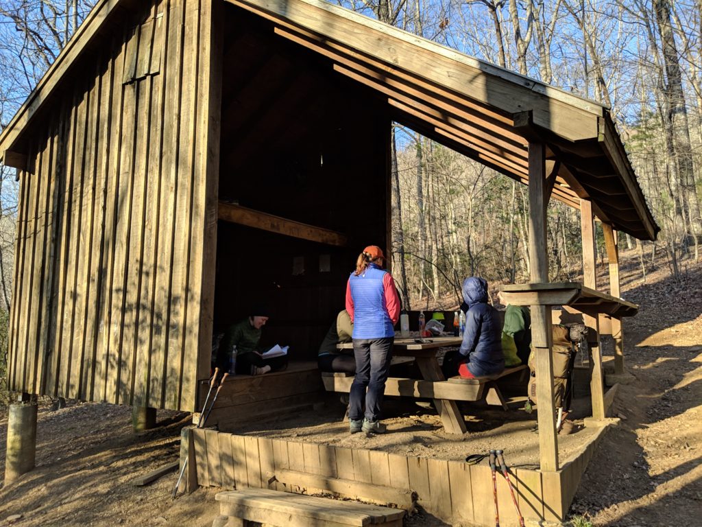
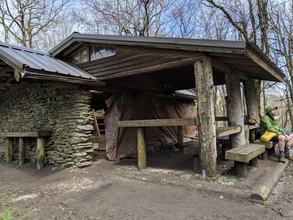
…water?
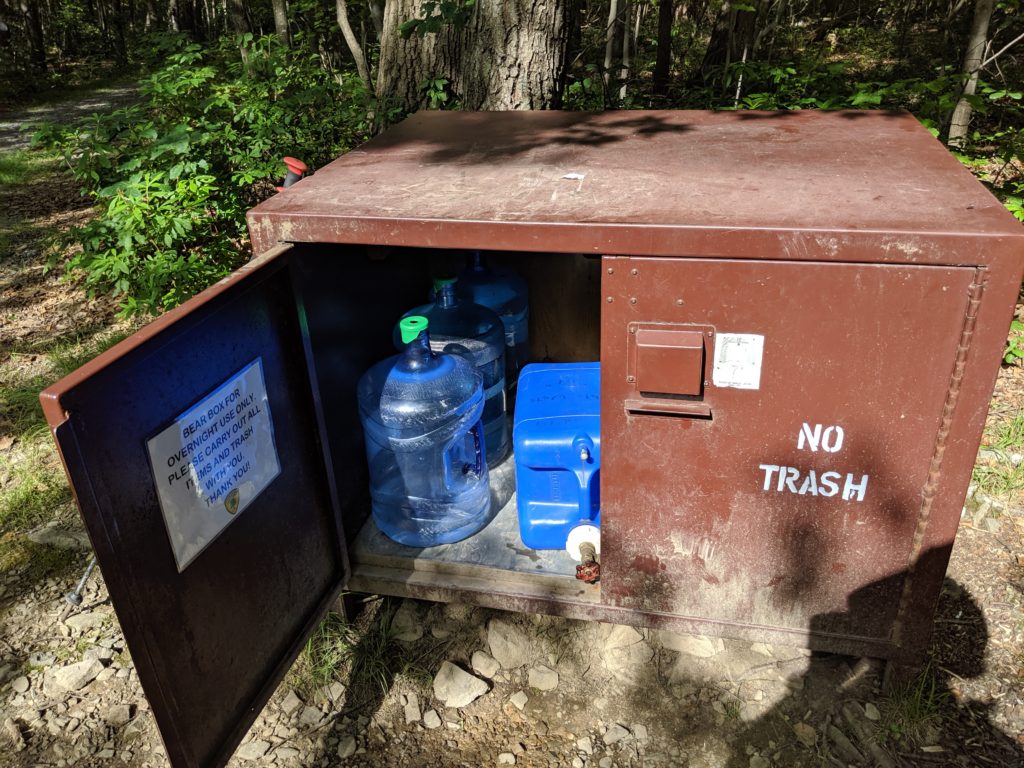
The shelters were typically placed close to a stream.
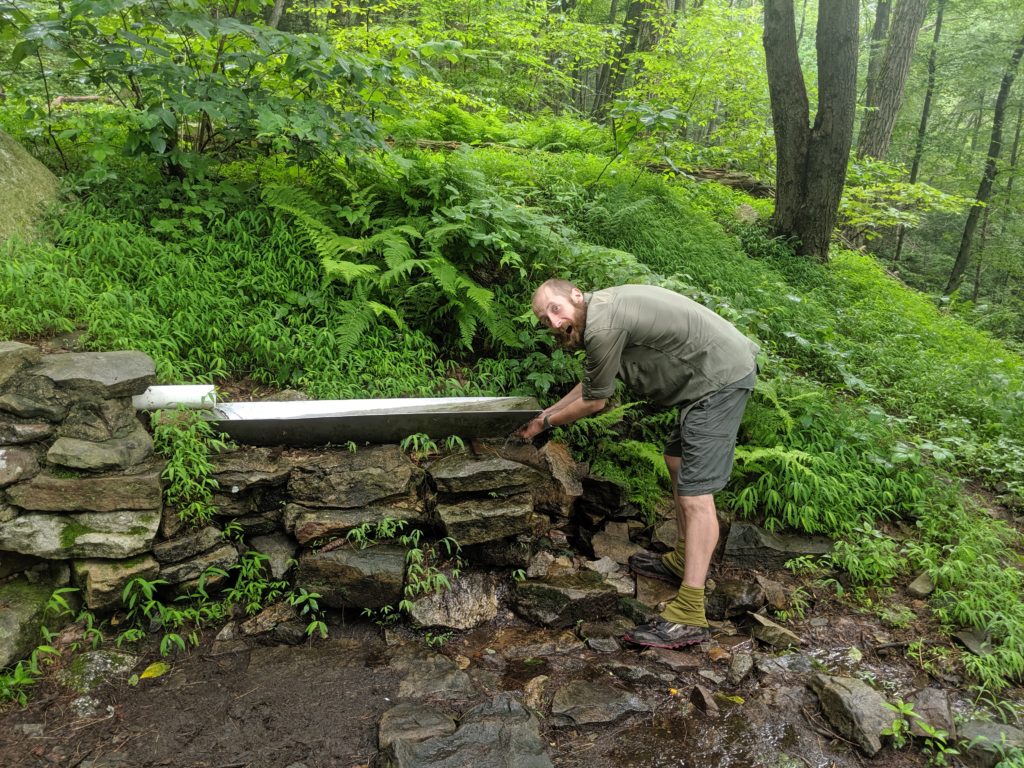
And that water was safe to drink?
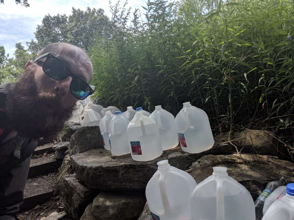
Yes. And no. In the more popular places it would have been tested. It got a little trickier when I got into the northern states because that was when I got into the peak summer season, and a lot of the seasonal streams started drying up. That was another place where trail magic came into play. As I got into New Jersey and New York, one of the luxuries and pure kindnesses of people was they’d leave out water jugs for people to take and be able to fill up. That’s probably where I had to drink some of the dirtiest water, where you’d filter it and it would still have this murky color to it, but you had to use it, because you knew in advance some of these other water sources were not going to be there, and the last thing you wanted was to go without water. There were some instances – at least two that I can think of – where the Appalachian Trail Conservancy has care takers, who stay and maintain the enclosed structures. Those have water that you can take, and showers. Oh – more than two. I didn’t go to the ones in Maine.